Nanjiliin Jadambaa; Wolfgang Grimmelmann; Aribert Kampe:
Explanatory Notes for the Hydrogeological Map of Mongolia
1:1000000
Ed.: Institute of Geology and Mineral Resources, Ulanbaatar,; IGMR Mongolia; Federal Institute for Geosciences and; BGR Natural Resources
2003. 50 pages, 13 figures, 17x24cm, 230 g
Language: English
(Geologisches Jahrbuch Reihe C, Band C 69)
ISBN 978-3-510-95919-8, paperback, price: 19.80 €
in stock and ready to ship
BibTeX file
hydrogeology •
mongolia •
mineral •
resources •
Hydrogeologie •
Mongolei •
Mineral •
Rohstoff
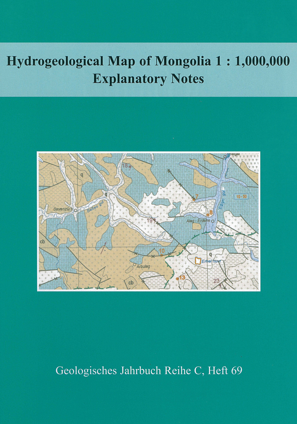
The Hydrogeological Map of Mongolia, scale 1 : 1 million, was produced
cooperatively by Mongolian and German hydrogeologists from 1993 to
1996. The map project was executed by the Mongolian Geological Survey
and the German Geological Survey (Federal Institute for Geosciences
and Natural Resources - BGR). It was financed by the Mongolian side
from research funds of the Ministry of Education, Culture and Science,
and on the German side by the Federal Ministry of Economic Cooperation
and Development (BMZ). The objective of the project was to support the
Mongolian partner institution in the preparation and production of the
hydrogeological map at a scale of 1 : 1,000,000. The explanations for
the Hydrogeological Map of Mongolia 1 : 1 000000 contain overviews on
geology and hydrogeology, short information about orographic, climatic
and hydrographic conditions, indications about compilation and content
of the map as well as a bibliography.
Preface
1 Introduction
2 Physical Geography
2.1 Orography
2.2 Climate
2.3 Hydrography
3 Geology
3.1 Regional geological and regional tectonic review
3.2 Stratigraphy
3.2.1 Precambrian and Cambrian
3.2.2 Cambrian (cb)
3.2.3 Ordovician (o) and Ordovician–Silurian (o–s)
3.2.4 Silurian (s) and Silurian–Devonian (s–d)
3.2.5 Devonian (d)
3.2.6 Carboniferous (h) and Devonian–Carboniferous (d–h)
3.2.7 Permian (p)
3.2.8 Triassic (t)
3.2.9 Jurassic (j)
3.2.10 Cretaceous (c1 and c2)
3.2.11 Paleogene and Neogene (m1, m2, m3 and m4)
3.2.12 Quaternary (q)
3.3 Magmatism
3.4 Metamorphism
4 Hydrogeology
4.1 Groundwater and lithology
4.1.1 ntergranular aquifers
4.1.1.1 Extensive, highly productive aquifers
4.1.1.2 Local, highly productive aquifers or extensive aquifers with low to moderate productivity
4.1.2 Fissured aquifers, including karst aquifers
4.1.3 Intergranular or fissured aquifers with local, limitedgroundwater resources or rocks with essentially no groundwater
4.1.3.1 Rocks with local, limited groundwater resources
4.1.3.2 Rocks with essentially no groundwater resources
4.2 Hydrochemical conditions
4.3 Groundwater recharge
4.4 Groundwater use and protection
4.5 Map compilation and legend
5 References
5.1. General
5.2. The geographical conditions, hydrogeology and geology
5.3. Further important references
A Hydrogeological Map of Mongolia, scale 1:1 million, was
produced cooperatively by Mongolian and German hydrogeologists between
1993 to 1996. These explanatory notes for the Hydrogeological Map of Mongolia
1:1000000 contain overviews on geology and hydrogeology, short
information about orographic, climatic and hydrographic conditions,
indications about compilation and content of the map as well as a
comprehensive bibliography.