Just a few years ago, an outstanding environmental geochemical atlas was
published as a result of the joint activities of the Norwegian Geological
Survey (NGU), the Finnish Geological Survey (GTK), and the Russian Central
Kola Expedition (CKE) [Reimann et al. (1998): Environmental Geochemical Atlas
of the Central Barents Region]. For the first time ever, a true multi-media
(water, soils, plants, bedrock, etc.), and multi-element regional mapping
project was performed and demonstrated the power of this approach to the
scientific world. Until today, an amazing number of fine papers have been
published in reputable journals and there is no end in sight. In contrast to
this enormous scientific production and success, the sales numbers of that
(low price = US$ 60) atlas are rather disillusioning.
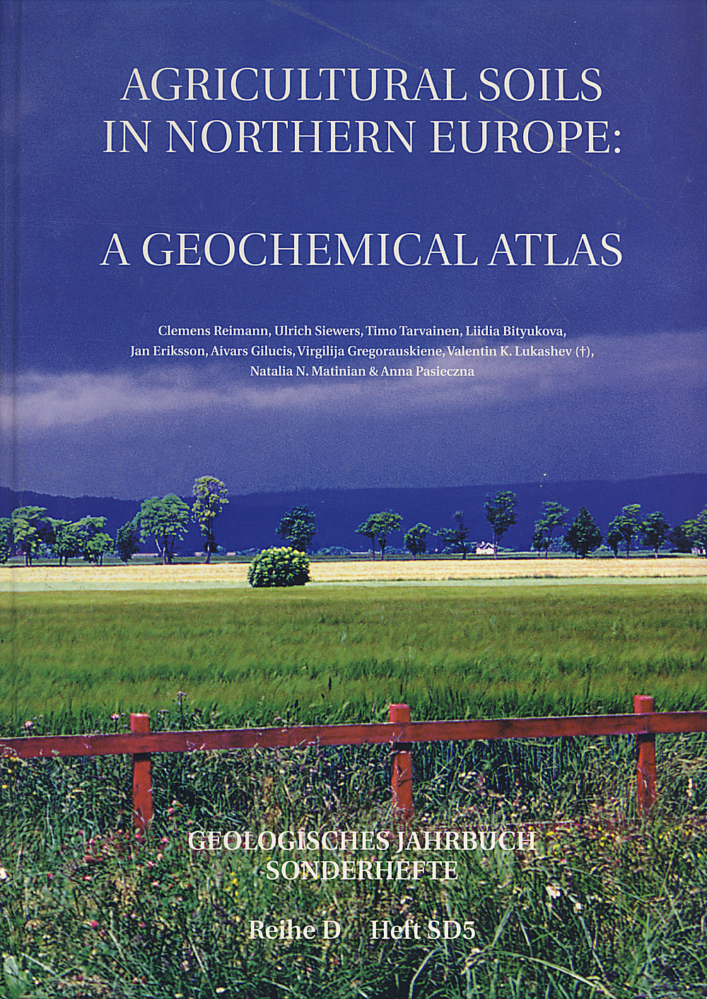
With that experience in mind, I open the above cited publication. A similar
approach, yet very different, and the result of the Baltic Soil Survey (BSS)
as it is known to some in the community, and part of IGCP259. Groups from six
geological surveys, two university institutes, and two Academy of Science
Research institutes of most European countries around the Baltic Sea (BH, EE,
FI, DE, LV, LT, NO, PL, RU, SE) have joined forces to map agricultural soils
divided into topsoil (Ap-horizon) and lower-soil horizon (B-/C) at about 750
sites (= 1500 samples) over an area of 1,800,000 km2 an average density of
one site per 2,500 km2. These samples have been prepared and analyzed for up
to 62 chemical elements with partly overlapping techniques (GF-AAS, ICP-OES,
ICP-MS, XRF) and extraction procedures (HF, aqua regia, NH4Ac) under strict
and well documented quality control. Unlike the reasoning of many arguments,
this rather low-sample density does very clearly demonstrate the capacity and
power of regional geochemical mapping. As the major result, the reader may
delve into the alphabetically ordered maps and statistical information,
starting with aluminum (Al), and ending with zirconium (Zr), plus pH and LOI
at 1030°C. As well said in the foreword by Arne Bjørlykke, Raimo Matikainen
and FriedrichWilhelm Wellmer the three director generals/presidents of the
geological surveys of Norway, Finland and Germany this work does not only
deliver interesting but also very exciting and challenging results. Other than
the heritance of geological history, we need to consider climatic, marine,
land-use influences apart from the rather well-known and recent anthropogenic
activities when trying to understand and interpret the presented results. Why,
for instance, do As, Cs, Sb, and Te form an unusual joint anomaly over central
Scandinavia and around the Bothnian Bay, an anomaly that follows the position
of the last continental ice mass? Why does Pb seem to correlate a lot better
with lithology than with traffic networks and industrial Pb-sources? Why do U
and Th seem to be related to agricultural practice and soil type, but not to
lithology? Why should Zr inversely correlate perfectly with elevation in both
soil layers? The emerging patterns challenge lots of perceptions and yet are
so convincing in their statistical robustness and spatial coherence food for
thought and many future papers.
To help better understand the presented data, the authors have supplied
following a description of the project's philosophy a fine introduction
(including maps) on geography and topography, climate and geology (lithology),
soil distribution, mineral occurrences and mining activities, vegetation,
industry, and agriculture. This 20-page start is followed by another 30 pages
of concise method description (from sampling to quality control) and data
analysis and mapping.
190 pages of element by element display and short
discussions follow, each featuring a general description of the respective
element and 'typical' concentrations for comparison, plus the descriptive
statistics for each element and a brief interpretation. The last 40 pages are
dedicated to a summary discussion and outlook, a helpful reference list, and a
substantial appendix with the data tables (similar format to the Kola
atlas). The attached CD-ROM contains all data files, maps, and graphics for
all plus additional elements and extractions not displayed in the atlas. This
refers to elements that delivered data sets with too many values below the
limit of determination. Still, there are missing data that would have been
valuable and interesting, e.g., values for total C and N, to better be able to
assess the organic soil compounds, or even a differentiation of total C and
Corg. Although in my copy the hyperlinks to the pdf-information did not work,
it was always possible to manually open the respective file and access all
information.
More often than not, in our days of dwindling resources, state
institutions like geological surveys are seen as rather superfluous agencies
that eat up tax-payers money and are mostly busy administering themselves. If
any argument is needed to strongly turn down that argument, I suggest taking a
second look at this new atlas. All data for this work have been gathered
from planning over sampling to analysis in the years 1996 and 1997. Further
analysis, data interpretation and display were done in the subsequent
years. The whole work load was shouldered by 35 people in 10 countries, and
the project was run in a very nonbureaucratic manner. The reader might like to
compare this with other multi-national research projects and will quickly
recognize that this is not only an excellent value for money; it is rather a
stunning database for a better understanding of regional geochemistry and a
key to process evaluation and testing. As a university researcher and teacher,
I also highly appreciate the open display of the database that allows for
innumerable hours of course material, e.g., in environmental geochemistry
and GIS-based geomatics courses.
To sum up, this atlas is a Must Read for
anybody interested in geochemistry and agriculture as well as in the natural
and maninfluenced variability of elements in that medium - and finally in a
deeper understanding of the processes that determine element distribution on
terrestrial ecosystems. Congratulations to authors and agencies!
Jörg Matschullat Technische Universität Bergakademie Freiberg, November 2003
JSS J Soils & Sediments 3 (4) 292 (2003)
